My map and photos of todays hike from Burnt Bridge to Kinsole Trestle. Ten kilometers with good company, good weather and good coffee at the Chippery. - Dennis.
 |
| Chores come first--e.g. setting up YSAGS Scarecrow for Shawnigan Inspiration Day. |
 |
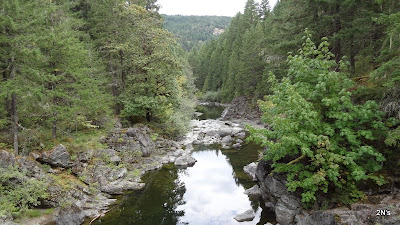
| View from Burnt Bridge. |
 |
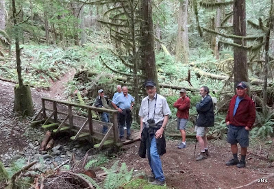
| One of several small bridges over dry creeks. At left is a tree growing from a stump. |
 |
| Koksilah River. |
 |
| Gas Pipeline from one perspective -- |
 |
| --and from another. |
 |
| Looking up at the Kinsole. |
 |
| Ed W. and John C. - framed. |

No comments:
Post a Comment