October 23, 2017

Men's Walking Group

Hey!  Another NO Rain Day!  Pretty lucky.  A stroll around the newest phase of Mill Springs and above by the water tower, followed by coffee at Serious Coffee.  Map and photos below.  --  DeNNis.


It was a nice 10°C day for the 10 of us to trek over 6Km around the Mill Spring Trails.  Next week is a road trip, more to follow.  -- Brook


UPDATE: Early October we had visited the mouth of Shawnigan Creek to see if the Salmon were starting to spawn but it was to early.  Since the rains the Salmon are now gathering and the Salmon lift will start to shuttle the Salmon up Shawnigan Creek.  See this link on how the Salmon are shuttled upstream:  http://localeye.ca/2016/09/26/shuttle-salmon-shawnigan-creek/ 


Parked behind Serious Coffee (bottom right) and did a counter-clockwise loop from there.  Map shows it pretty well, I think.


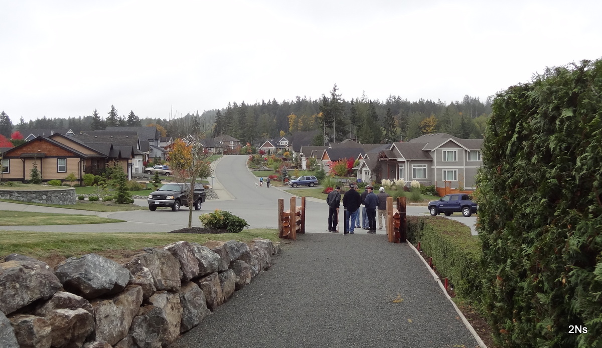
Looking back at the Frayne Rd intersection from the Lodgepole
Road summit.


The view if you live up on Alget Road.


A quick photo (slightly blurred) of some craft work on a Mill Springs
back deck.


Lots of trails behind back yards around the perimeter of
Mill Springs.


 Some quite secluded.


Some interesting growth structure in many of these trees.


New construction area.


Other side of the street.


Official inspection team.


Area of next construction phase.


Mill Springs water tower.


Remnants of summer flowers (dandelions).


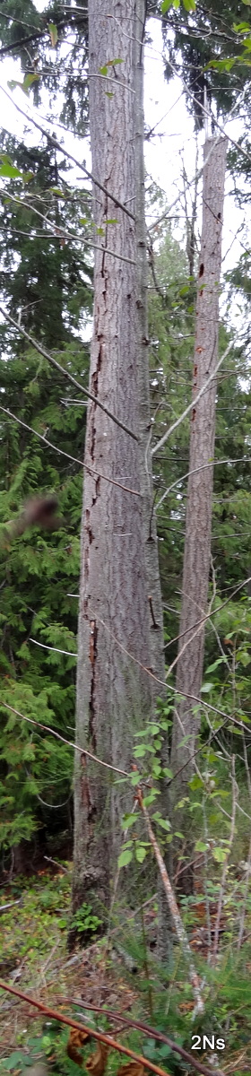
Odd split up the bark
of this tree.  Behind
is a woodpecker tree.


Down a steep slippery slope.


This sign on the rear of the Serious Coffee building deserves
a repeat viewing.


October 16, 2017

Men's Walking Group

No rain on our walk around the Shawnigan Lake area today.  It turned out to be quite interesting.  Would have liked to get more photos but did okay.  --  DeNNis.


Great day for the 11 of us to trek 7Km on the Shawnigan lake back wood trails (on lower right of the Map). -- Brook


Follow the trace clockwise from the Legion (top right)


Up the trail from Cairn Park across from the Legion.


Playground above Cairn Park.


Beside the trail.  How it got there, who knows.


Natures art.


Excellent trail - part of a long driveway in the bush.


1938 pick-up.


Across the E&N tracks, down to Shawnigan Wharf.


The Wharf.

Panorama of Shawnigan Lake from the wharf.


Masons Beach from the wharf.

Great place for a respite.

Buoys marking wharf area.


Reflections.


Guard Cat??


Shawnigan Pavilion at Elsie Miles Field

Finished our coffee - back to the cars at the Legion.

October 10, 2017

Men's Walking Group

Brisk day for 8 of us to walk the 7Km along the Mill Bay seaside.  Bob provided the photo log of our trek.  Visited the mouth of Shawnigan Creek to see if the Salmon were returning, but not a Salmon to be seen? -- Brook

Counter Clockwise from Tim Hortons, stopping at the old Government dock and
 the Bistro Marina docks
 
Heading down to the Shopping Centre 


Shortcut from Partridge to Seaview Road
 
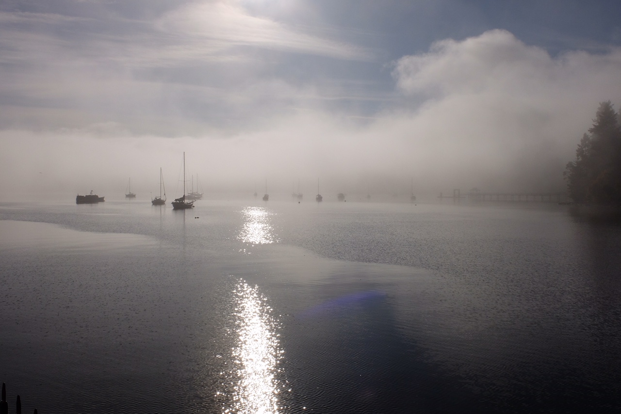
Little foggy on the old Government Dock
 
Rest area at end of the Dock
 
Free moorage and some live aboard boats

Is this really a Mill Bay Waterworks Hydrant?
Sun breaking through the fog at the Marina


Fun to watch the Jelly Fish ballet
Lonely Heron watching the Gulls dodge the seal at the Handy Road boat ramp


Along the shore at Brentwood College

Artwork under the Hwy 1 bridge over Shawnigan Creek

Back to Tim's for Coffee

October 2, 2017

Men's Walking Group

A little nip in the air at 8:30 but turned into a beautiful sunny day by the time we started our walk.  We did a slightly different route onto the Friendship Trail in Duncan starting at the Wal-Mart parking lot.  Here are my map and photos.   --   DeNNis.


Was a nice day for the 11 of us to trek the 7Km followed by Coffee at the Serious Coffee at the Duncan Commons.  Next week we will walk on Thanksgiving Day.  --  Brook


Started at the Wal-Mart parking lot (top right) and did a counter-clockwise figure 8 (just follow the red arrows). 

Drinkwater Elementary School with a fishy fence.

Glen Harper Curling Centre.

On the other side of the street is the Duncan Sikh Temple.

I understand they serve good Mongolian food here.


A group of "senior citizens" using the crosswalk across
Skinner Road.


A very nicely kept condo neighborhood.

Down the hill to the bridge across Bing Creek and onto the
Galloping Goose trail

Dieter ahead of the group.


Water very scarce in Bing Creek.

Looking back up the trail.


At the bottom of Sherman Rd looking across the highway to Somenos Marsh.  The Friendship Trail is on the left heading north.

An artistic graffiti artist has been at work below the bridge
across Averill creek.


Back where we started.